3D design in Marbella: what the new General Plan changes
On 18 September Marbella approved its first General Plan adapted to Andalusia's LISTA law, leaving the 1986 framework behind. This is how 3D design can help developers and architects in the new stage.
On 18 September 2026, an extraordinary plenary session of Marbella City Council gave final approval to its new General Municipal Plan (PGOM). Until that day, the city was governed by a plan approved in 1986: four decades of change under a framework designed for a different Marbella.
For a developer with a hillside plot, or an architecture practice with a preliminary design waiting in a drawer, the question is immediate: what can be done now, and how do you explain it to the people who have to decide?
The new PGOM does not yet set the rules for each plot, but it opens a stage in which 3D design in Marbella helps to study alternatives, explain how a project fits and sell it with greater rigour.
What was approved on 18 September, and what is still missing
According to the official announcement from Marbella City Council, the PGOM is the first in Andalusia adapted to the LISTA, the regional planning law passed in 2021. It provides for 53 million square metres of urban land, compared with around 40 million in the previous plan, and requires developments on urban land to reserve 20% of their buildable area for affordable housing.
The mayor, Ángeles Muñoz, emphasised legal certainty. The council points out that some 18,000 homes had been left outside a regular planning situation because of the complex history of the municipal plan.
One key piece is still to come. The announcement explains that the PGOM will be developed in detail through the Urban Planning Plan (POU), which is currently being processed. Under Andalusia's Law 7/2021 on territorial sustainability, the General Plan sets the overall planning model for the municipality (Article 63), while the POU sets the detailed planning of urban land, including building and development regulations (Article 66).
In practice, many of the parameters that affect a specific project will arrive with the POU. Reading the regulations for each plot is a job for the architect and the council's technical staff; our work begins where that reading needs to be seen.
From parameters to volumes: studying the plot in 3D
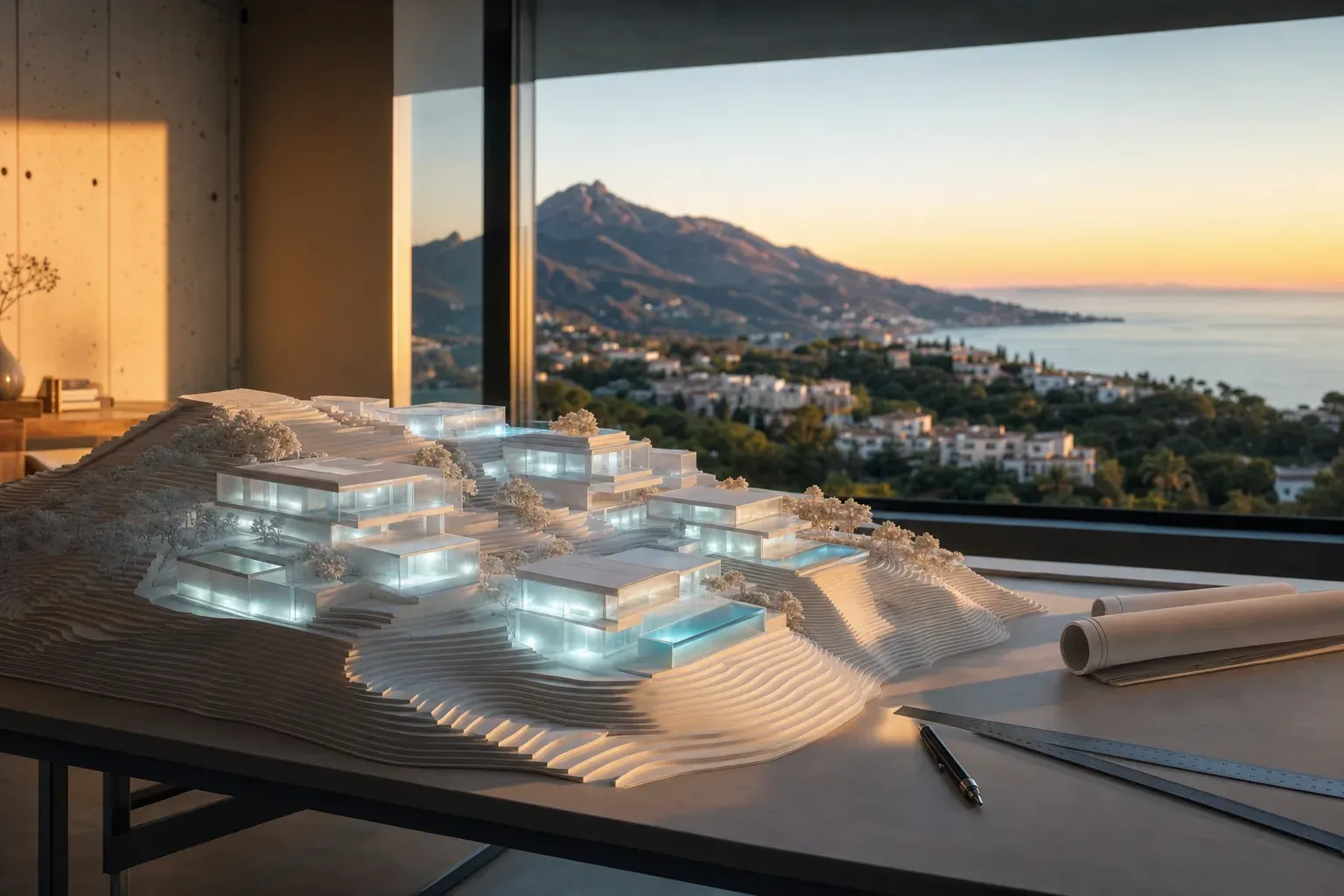
A massing study is the most useful tool in a period of transition. It is not about a beautiful image: it translates building lines, heights and site coverage into simple volumes that can be measured, rotated and compared.
In Marbella, where many plots sit on slopes, volume answers questions a floor plan cannot: how many platforms the terrain calls for, what each floor looks out on, where the shadow falls on a winter afternoon and how the building reads from the access road.
Its great advantage is that it adapts quickly. If the POU confirms or changes a parameter, the model is updated without redoing the work, and alternatives are compared from the same viewpoint, in the same light and at the same scale.
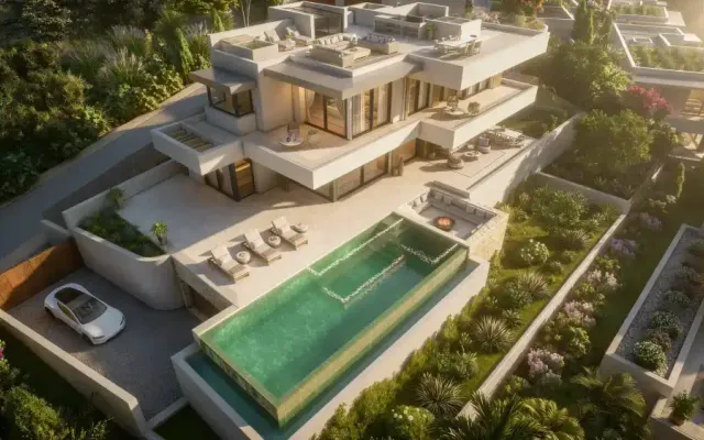
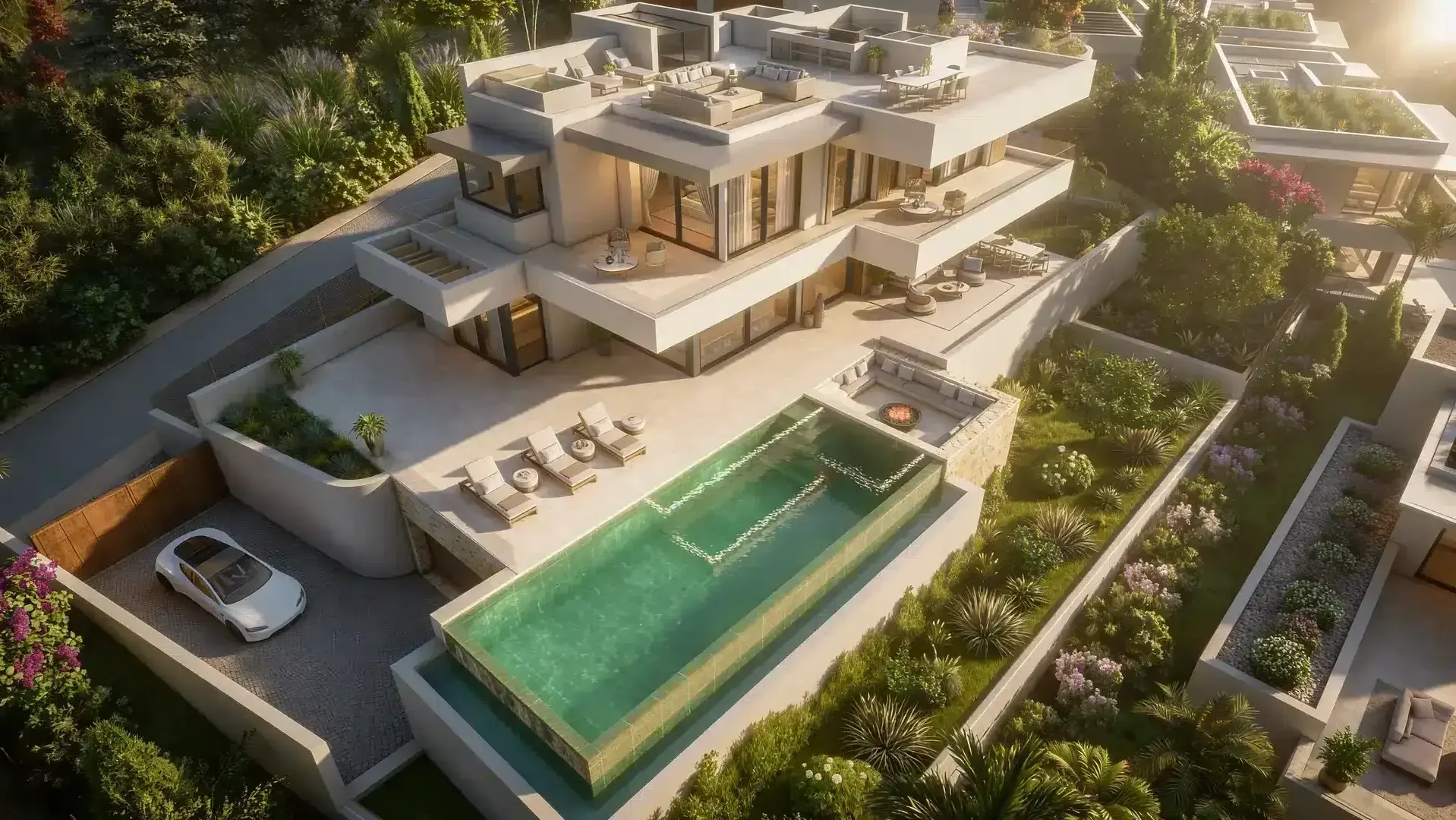
The aerial view of Villa Soal, in Marbella, shows that logic carried through to the final image: stepped platforms, terraced gardens and an infinity pool explain at a glance how the house sits on its plot.
Landscape and context: linking the mountains and the coast
The councillor for planning, José Eduardo Díaz, described the plan as a vision of Marbella as a green, connected city with services close at hand, strengthening the link between the mountains and the coast through natural corridors and open spaces. It is an idea of the territory, and also a lens through which projects will be judged.
For 3D design, that means treating context as seriously as architecture. We suggest three views that are often missing from project dossiers:
- A context aerial, with the mountains, the sea and the real access roads, not a generic backdrop.
- A pedestrian-level view from the nearest street or path, to understand how the volume is perceived.
- A distant view from a recognisable point nearby, useful for judging how the building sits on the hillside.
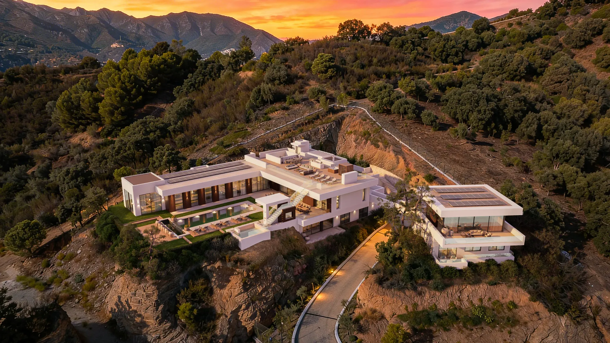
At The House, also in Marbella, the sunset aerial places the villa on its hillside and within its mountain landscape: information an international buyer needs before visiting the plot.
Legal certainty needs communicating too
If legal certainty is one of the arguments for the new framework, the way each project is presented has to live up to it. That means separating two families of images:
- Study images, for the developer, architect or investor: volumes, alternatives, sunlight. They are presented as what they are: proposals under evaluation.
- Sales images, for the buyer: only once the project is defined, with the materials, heights and views the home will actually have.
Mixing the two is the most expensive mistake. A sales render that anticipates an unconfirmed terrace or view creates an expectation that someone will later have to explain. In 3D design for buyers who decide from abroad, we explain why every advertising render is, in practice, a promise.
Affordable housing and new developments: 3D is not just for villas
Reserving 20% of buildable area for affordable housing in urban-land developments opens the door to mixed schemes that must be explained to very different audiences: public bodies, housing cooperatives, neighbours and first-time buyers.
Here 3D design plays another role. A clear visualisation of a residential scheme, with its green spaces and community facilities, helps a project be understood at a public exhibition or in a meeting with the council. And if the development goes out to tender, the criteria we covered in how to win a public tender with architectural visualisation apply.
How to prepare a Marbella project while the POU is drafted
Imagine a developer with a hillside plot and a preliminary design to present to investors this winter. This is the sequence we suggest:
- Gather the real base: topographic survey, photographs or a drone flight of the plot, and the available drawings.
- Model the massing in two or three alternatives, ready to be adjusted when the POU sets out the parameters.
- Study light and views floor by floor and season by season, using the plot's real orientation.
- Compose the context: aerial view, street view and distant view.
- Produce the sales images once the project is fixed, from the same model.
- Reuse the model for video, a virtual tour or an interactive 3D model, without starting from scratch.
The model from steps 2 to 4 is not thrown away: it becomes the basis for all later sales material. That continuity saves time and avoids inconsistencies between what the investor saw and what the buyer will see.
Our pages on 3D renders and architectural imagery in Marbella and architectural visualisation on the Costa del Sol show how we have approached these commissions since 2008.
If you have a plot or a project in Marbella and want to see it in 3D before taking the next step, tell us what stage it is at. We will suggest the material each decision needs, from the first massing model to the image that sells.